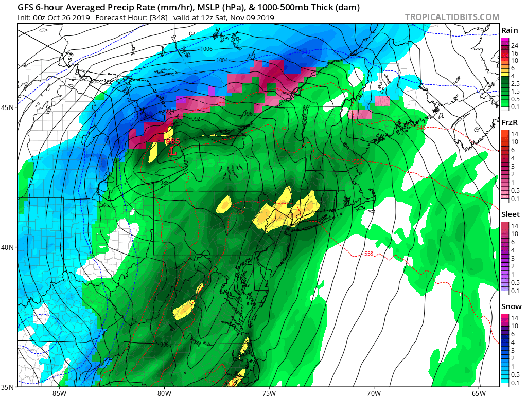
Sorry, I've looked everywhere but I can't find the page you're looking for.
If you follow the link from another website, I may have removed or renamed the page some time ago. You may want to try searching for the page:
Sorry, I've looked everywhere but I can't find the page you're looking for.
If you follow the link from another website, I may have removed or renamed the page some time ago. You may want to try searching for the page:
I've done a courtesy search for the term gfs model for you. See if you can find what you're looking for in the list below:
Just take a look at the snowfall outlook and the location of the storm system on the latest 12 model run. This is not set in stone and at this point of time. I would not even get my hopes …
This storm is starting to flop around on most models. The latest runs push this too far east with cold air coming in and pushing this storm out to sea. At this point of time this is what you want to see …
Here is the 12Z European model. It shows the coastal sections also receiving a pretty decent sized snowstorm. What is so remarkable is that a lot of other models including the Canadian have trended towards the European model. I want to see …
Those familiar with weather forecasting are familiar with the term outlier. This happens when one model is saying something different then the consensus. Sometimes the outlier takes a while to enter into the fold of model consensus and sometimes the …
As thanksgiving passes as November gives way to early December the chill of winter will start to be felt throughout much of the continental united states. Cold air will invade the central plains and rocky mountain region with more than …
We’ve experienced some colder than normal temps over the past couple of days, with frost and freezes across parts of the Deep South and Southeast. Current high pressure over the Eastern US expected to remain stationary, with surface winds shifting …
Hello everyone. There has been a lot of talk about a possible winter storm coming up the coast as we head into the weekend. The Euro model has been hinting at this constantly as Jason on weatheradvance.com has been constantly pointing out, and now …
Looking at the long range models I can’t remain quiet about this anymore. I am just using the GFS model mainly this year, I am tired of the titter tatter, and dancing around with one model and another. So right …
The long range models continue to show a strong cold front pressing into the region around October 19th of this month and after that it shows a couple more waves of cold air pressing into the eastern half of the nation. This …